|
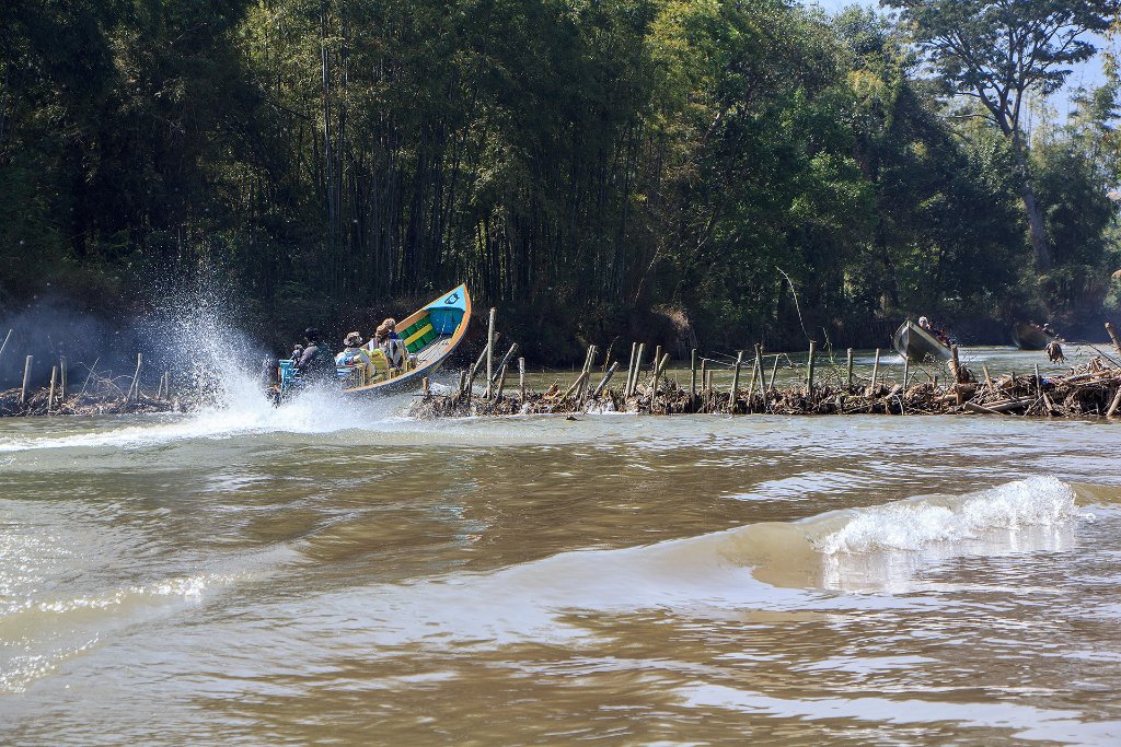 |
| 28-Dam in the channel to Inn Thein to keep a certain waterlevel in the dry season | |
| Latitude: N 20°28'7,15" | Longitude: E 96°51'10,12" | Altitude: 890 metres | Location: Sawma | State/Province: Shan | Country: Myanmar | Copyright: Ron Harkink | See map | |
| Total images: 52 | Help | |